McLeod Russel Tea Estates in India

Select
-
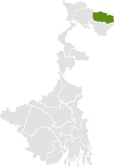
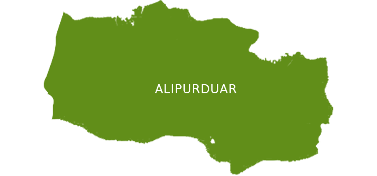
Alipurduar
-
Mathura
District: Alipurduar
Area under Tea: 719.76 Hectares
Estimated crop: 1200 Tones
Certifications: None
View in Google Maps -
Central Dooars
District: Alipurduar
Area under Tea: 818.66 Hectares
Estimated crop: 1060 Tons
Certifications: None
View in Google Maps
-
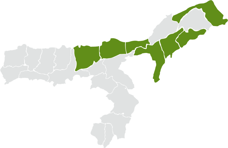
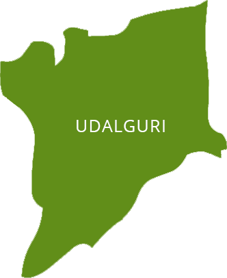
Udalguri
-
Attareekhat
District: Udalguri
Area under Tea: 543.11 Hectares
Estimated crop: 1.27 Million Kgs
Certifications: ISO 22000:2005, Rainforest Alliance, Trustea
View in Google Maps -
Dimakusi
District: Udalguri
Area under Tea: 451.44 Hectares
Estimated crop: 1.04 Million Kgs
Certifications: ISO 22000:2005, Rainforest Alliance, Trustea
View in Google Maps -
Borengajuli
District: Udalguri
Area under Tea: 655.97 Hectares
Estimated crop: 1.3 Million Kgs
Certifications: ISO 22000:2005, Rainforest Alliance, Trustea
View in Google Maps -
Paneery
District: Udalguri
Area under Tea: 429.79 Hectares
Estimated crop: 1000 Tons
Certifications: ISO 22000:2005, Rainforest Alliance, Trustea
View in Google Maps -
Bhooteachang
District: Udalguri
Area under Tea: 617.47 Hectares
Estimated crop: 1.23 Million Kgs
Certifications: ISO 22000:2005, Rainforest Alliance, Trustea
View in Google Maps -
Corramore
District: Udalguri
Area under Tea: 505.91 Hectares
Estimated crop: 0.985 Million Kgs
Certifications: ISO 22000:2005, Rainforest Alliance, Trustea
View in Google Maps
-
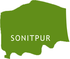
Sonitpur
-
Tarajulie
District: Sonitpur
Area under Tea: 510.5 Hectares
Estimated crop: 865 Tons
Certifications: ISO 22000:2005, Rainforest Alliance, Trustea
View in Google Maps -
Rupajuli
District: Sonitpur
Area under Tea: 378.14 Hectares
Estimated crop: 675 Tons
Certifications: ISO 22000:2005, Rainforest Alliance, Trustea
View in Google Maps -
Tezpore & Gogra
District: Sonitpur
Area under Tea: 548.9 Hectares
Estimated crop: 1000 Tons
Certifications: ISO 22000:2005, Rainforest Alliance, Trustea
View in Google Maps -
Phulbari
District: Sonitpur
Area under Tea: 881.32 Hectares
Estimated crop: 1750 Tons
Certifications: ISO 22000:2005, Rainforest Alliance, Trustea
View in Google Maps -
Dekorai
District: Sonitpur
Area under Tea: 901.68 Hectares
Estimated crop: 1.95 Million Kgs
Certifications: ISO 22000:2005, Rainforest Alliance, Trustea
View in Google Maps -
Pertabghur
District: Sonitpur
Area under Tea: 835.33 Hectares
Estimated crop: 1900 Tons
Certifications: ISO 22000:2005, Rainforest Alliance, Trustea
View in Google Maps -
Mijicajan
District: Sonitpur
Area under Tea: 999.45 Hectares
Estimated crop: 1.79 Million Kgs
Certifications: ISO 22000:2005, Rainforest Alliance, Trustea
View in Google Maps -
Monabarie
District: Sonitpur
Area under Tea: 1161.64 Hectares
Estimated crop: 2.6 Million Kgs
Certifications: ISO 22000:2005, Rainforest Alliance, Trustea
View in Google Maps -
Behali
District: Sonitpur
Area under Tea: 615.02 Hectares
Estimated crop: 1.23 Million Kgs
Certifications: ISO 22000:2005, Rainforest Alliance, Trustea
View in Google Maps -
Boroi
District: Sonitpur
Area under Tea: 412.88 Hectares
Estimated crop: 0.79 Million Kgs
Certifications: ISO 22000:2005, Rainforest Alliance, Trustea
View in Google Maps -
Halem
District: Sonitpur
Area under Tea: 608.72 Hectares
Estimated crop: 1.2 Million Kgs
Certifications: ISO 22000:2005, Rainforest Alliance, Trustea
View in Google Maps -
Dufflaghur
District: Sonitpur
Area under Tea: 712.71 Hectares
Estimated crop: 1.3 Million Kgs
Certifications: ISO 22000:2005, Rainforest Alliance, Trustea
View in Google Maps -
Nya Gogra
District: Sonitpur
Area under Tea: 669.71 Hectares
Estimated crop: 1390 Tons
Certifications: ISO 22000:2005, Rainforest Alliance, Trustea
View in Google Maps
-
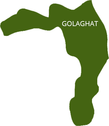
Golaghat
-
Behora
District: Golaghat
Area under Tea: 739.48 Hectares
Estimated crop: 1.24 Million Kgs
Certifications: ISO 22000:2005, Rainforest Alliance, Trustea
View in Google Maps -
Bukhial
District: Golaghat
Area under Tea: 595.78 Hectares
Estimated crop: 1.02 Million Kgs
Certifications: ISO 22000:2005, Rainforest Alliance, Trustea
View in Google Maps
-
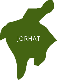
Jorhat
-
Hunwal
District: Jorhat
Area under Tea: 919.57 Hectares
Estimated crop: 1.92 Million Kgs
Certifications: ISO 22000:2005, Rainforest Alliance, Trustea
View in Google Maps
-
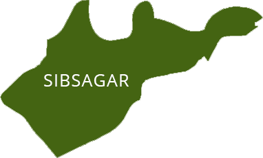
Sibsagar
-
Rajmai
District: Sibsagar
Area under Tea: 500.06 Hectares
Estimated crop: 950 Tons
Certifications: ISO 22000:2005, Rainforest Alliance, Trustea
View in Google Maps
-
Dibrugarh
-
Tinsukia
-
Dirial
District: Tinsukia
Area under Tea: 609.18 Hectares
Estimated crop: 1.33 Million Kgs
Certifications: ISO 22000:2005, Rainforest Alliance, Trustea
View in Google Maps -
Bogapani
District: Tinsukia
Area under Tea: 859.68 Hectares
Estimated crop: 2.05 Million Kgs
Certifications: ISO 22000:2005, Rainforest Alliance, Trustea
View in Google Maps -
Dehing
District: Tinsukia
Area under Tea: 498.73 Hectares
Estimated crop: 1.15 Million Kgs
Certifications: ISO 22000:2005, Rainforest Alliance, Trustea
View in Google Maps -
Itakhooli
District: Tinsukia
Area under Tea: 407.76 Hectares
Estimated crop: 0.82 Million Kgs
Certifications: ISO 22000:2005, Rainforest Alliance, Trustea
View in Google Maps -
Dirok
District: Tinsukia
Area under Tea: 818.08 Hectares
Estimated crop: 1.8 Million Kgs
Certifications: ISO 22000:2005, Rainforest Alliance, Trustea
View in Google Maps -
Namdang
District: Tinsukia
Area under Tea: 770.5 Hectares
Estimated crop: 1675 Tons
Certifications: ISO 22000:2005, Rainforest Alliance, Trustea
View in Google Maps -
Margherita
District: Tinsukia
Area under Tea: 626.29 Hectares
Estimated crop: 1.2 Million Kgs
Certifications: ISO 22000:2005, Rainforest Alliance, Trustea
View in Google Maps


